
 |
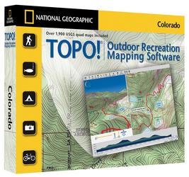
TOPO! cd-roms
"Explore the outdoors with award-winning TOPO! Map Software. Each CD-ROM features seamless statewide coverage from USGS maps. Design, customize, and print your own topographic maps. Trails profiles make it easy to visualize your hike. 3-D relief shading can be turned off or on, bringing each map alive. The 1:24,000 scale provides exceptional detail, perfect for outdoor enthusiasts"...by National Geographic
|
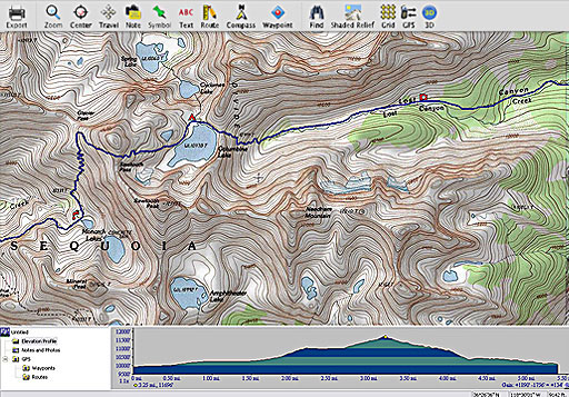
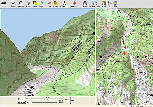
SCREENSHOT
SCREENSHOT TOPO! State - Outdoor Recreation Mapping SoftwareTOPO! features five layers of the best maps available - from National Geographic Atlas maps to the most detailed USGS topographic maps. Loaded with features and functionality, TOPO! is essential gear for your outdoor recreation activities. FEATURES: SYSTEM REQUIREMENTS:
|
|
|
|

Hudson Map Company
2510 Nicollet Avenue
Minneapolis, MN 55404
tel: 612-872-8818
fax: 612-872-1855